DEMO sites
Quemado & Salado SWCD: Project SummaryStatus: In AbeyanceIn 2024, Quemado and Salado Soil and Water Conservation Districts engaged Catena Environmental LLC to develop Long Range/Land Use Plans under the Land of Enchantment Legacy Fund. The total scope of work was valued at approximately $19,000 per district.Catena Environmental performed approximately 155 hours of work across Actions Items #2 through #6, including site assessments, stakeholder outreach, drafting, and the development of an ArcGIS Hub and website to house the final plan.To date, the districts have paid roughly $12,000 of the approved $19,000 scope—leaving a remaining balance of approximately $7,000 per district.Despite repeated written requests for a signed contract, the districts never executed the agreement. The original contract contained only one signature line—for the contractor—and was never countersigned by either district. When Catena Environmental provided a corrected contract with a second signature line, the districts refused to sign.Both districts have since experienced administrative collapse, including lost records, board dissolution, and staff turnover. Records documenting program activities and contract terms could not be produced upon request.This project remains in abeyance pending a fully signed contract and committed final payment.The website and ArcGIS Hub are staged here for reference only.
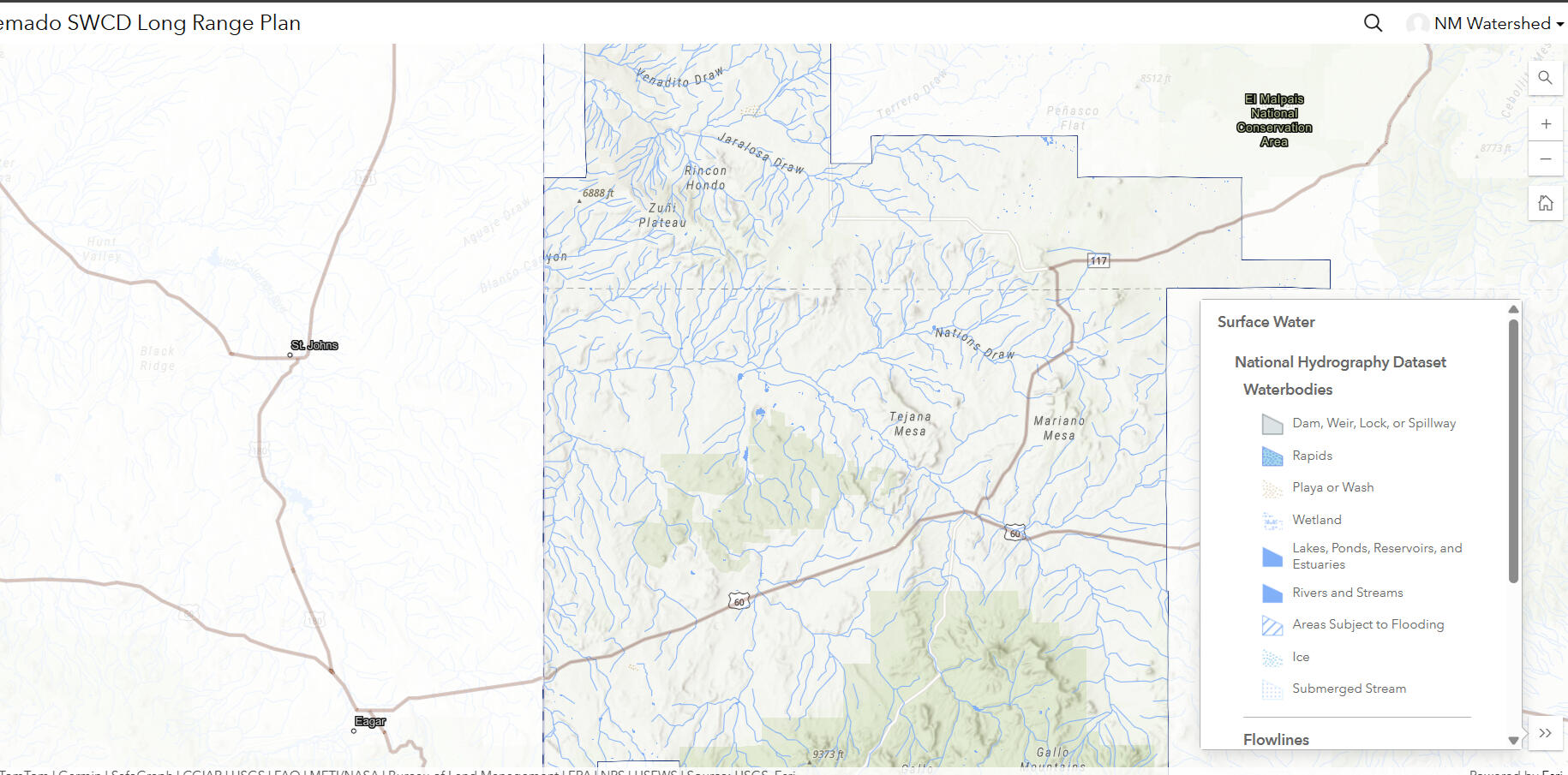
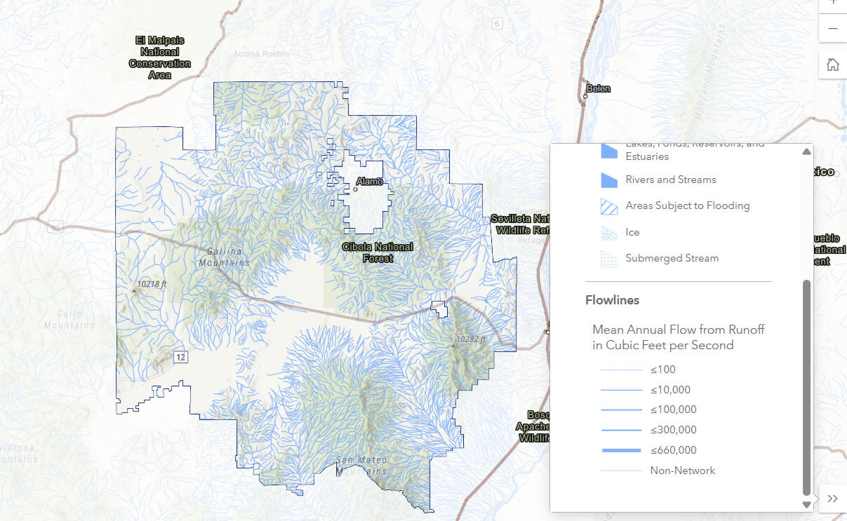
SWAPA+HE Maps Developed
SWAPA+HE Layers for Each DistrictS — Soil: Soil types, ecological sites, and productivity data from NRCS SSURGO.W — Water: Watershed boundaries, acequias, monitoring sites, and flood control structures.A — Air: Air quality monitoring locations and emissions data.P — Plants: Vegetation cover, invasive species, and restoration areas.A — Animals: Wildlife corridors, habitat areas, and grazing allotments.H — Humans: Land ownership, demographic data, and community assets.E — Energy: Energy infrastructure, transmission lines, and renewable resource potential.These layers give each district a complete picture of their resource concerns—mapped, measurable, and accessible to landowners, partners, and the public for planning, monitoring, and reporting.
Internal Audit & Risk Assessment Tools
In addition to the maps we created for each district, we developed internal audit and risk assessment tools intended for the open house and stakeholder meetings.During our work with Quemado and Salado, we asked about the herbicide cost-share program and other district programs.We received no documentation from the administrator—only verbal descriptions from board members.For districts operating for decades, there was little information to work with. When we asked to meet with board supervisors directly, they were unavailable.With no central data source, we created maps for each district so they could understand the resource concerns typically addressed by NRCS and NMDA programs.We built SWAPA+HE layers—soil, water, air, plants, animals, humans, and energy—so districts could see their resource concerns in one place for the first time. We believed this was the best path forward given the lack of documentation.But then a signed contract never came.We built the maps, the website, the ArcGIS Hub, and the audit tools. We did the work. But without a signed contract, we cannot deliver the final product.We want to deliver. But delivery requires a contract reflecting how we proceed forward in 2026—not 2024, when this project was initiated. Circumstances have changed. The districts have changed. The funding landscape has changed.We are ready to complete this work. But we will not deliver without a contract.
The Next Right Step: Mediation
Mediation is not a concession. It is part of contract management. It is what NRCS calls equitable relief—a process for resolving disputes when one party relied in good faith and was harmed. It exists precisely for situations like this.The next right step is mediation. A signed contract reflecting how we proceed forward in 2026. A mutual agreement. That is what we have been asking for all along.
Why WE CREATED RATE MY SWCD
If this happened to two districts, there are likely others struggling.And so are the landowners, contractors, small businesses and natural resources who depend on them.Rate My SWCD brings transparency to a system that has operated in the dark for too long.It gives contractors and landowners the information they need before they commit their time and money.It gives districts a mirror to see where they stand.It gives policymakers the data to target training, funding, and support where it is needed most.Because one district's failure is not just one district's problem.It is a ripple that reaches every landowner and small business that trusted them.